
This blog post of ours as the title indicates “Assam Geography MCQ” would cover multiple choice questions on Assam geography. In this article, we have collected Assam Geography MCQ in the English language from some variables sections which will help you score good marks for your upcoming government exams. Here, we zero in on the geographical angle of Assam with our “Assam Geography MCQ,” which will give you a fairer understanding of all the areas related to Assam such as its topography, climatic patterns, natural resources, and cultural intricacies.
This post will be useful for APSC, ADRE 2.0, or any other govt. exam aspirants (Anyone who is preparing) to test their grasp on the various geographical aspects in Assam as a quick revision. Furthermore, the detailed solutions to every question will provide you a comprehensive knowledge about variegated geographical entities of Assam.
Prepare well for your exams through our vast collection of “Assam Geography MCQs“, and Secure Your Rank in the Competitive Exams. You should go through this article to better your preparation and be ready to face geography by asking questions at the tip of your exam.
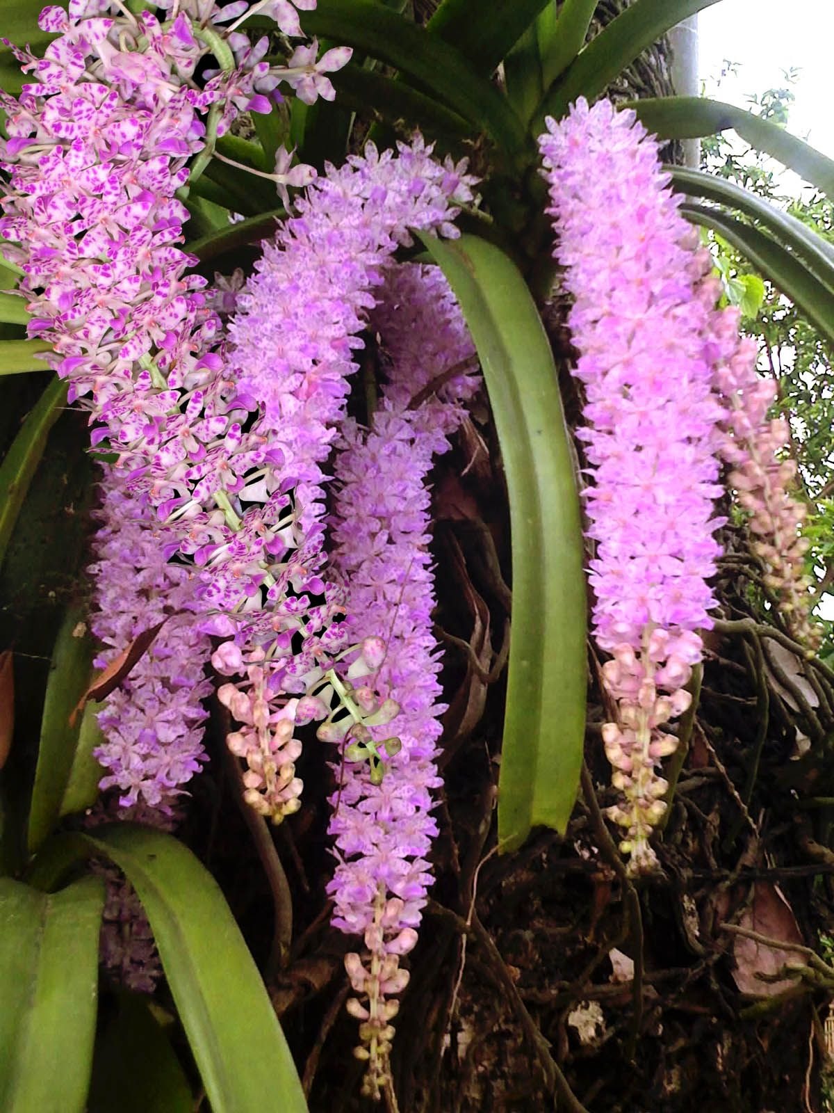
1. The Foxtail Orchid (Kopou Phul) is adopted as the state flower of Assam on-
A) 2002
B) 2003
C) 2004
D) 2008
View Answer
2. The climate of Assam is influenced by all of the following factors EXCEPT:
A) Physiography of Assam and its bordering regions
B) Southwest and northeast monsoons
C) Mediterranean Disturbance or Western Disturbance
D) Absence of water bodies
View Answer
3. What is the population of Assam in relation to the total national population of India?
A) 2.39%
B) 2.59%
C) 24.30%
D) 3.21%
View Answer
4. Which mineral resource is found mainly in the Meghalaya-Karbi Anglong Plateaus?
(a) Sillimanite
(b) Quartz
(c) Feldspar
(d) Dolomite
View Answer
5. In which district of Assam are the Dholamara Hills located, known for their mica deposits?
(a) Goalpara
(b) Dhubri
(c) Kamrup
(d) Karbi Anglong
View Answer
6. Who was the first to give an account of limestone deposits in Assam?
(a) Jenkin
(b) Hannay
(c) Goodenough
(d) Meghalaya
View Answer
7. Who gave the first account of the petroleum-bearing horizon in Assam?
(a) Jenki
(b) Hannay
(c) Goodenough
(d) None
View Answer
8. In which of the following areas in Assam iron ore deposits are found?
A) Hahim
B) Silbheta
C) Chanderdinga Hills
D) Margherita
View Answer
9. What is the total area of Brahmaputra Valley?
A) 58,000 sq km
B) 56,800 sq km
C) 58,315 sq km
D) 55,365 sq km
View Answer
10. Raimona National Park is Famous for
A) Golden Langur
B) Pigmy Hog
C) Gibbon
D) Panda
View Answer

11. Hamren Plateau is a continuous part of_____________
A) Jaintia Hills
B) Khasi Hills
C) Garo Hills
D) Mizo Hills
View Answer
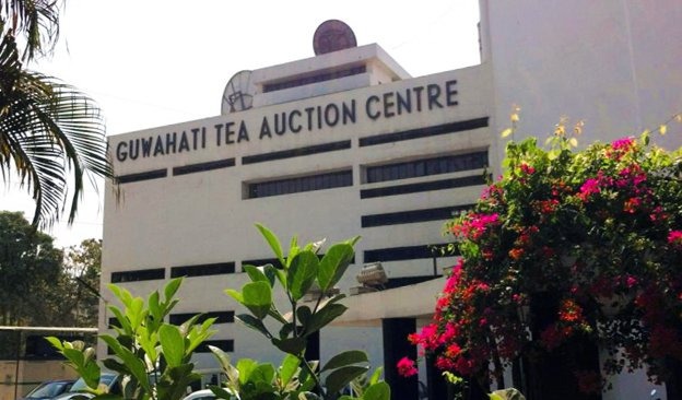
12. In which year the Tea Auction Centre in Guwahati was Established?
A) 1972
B) 1975
C) 1970
D) 1834
View Answer
13. The southwest and northeast monsoons have an impact on the climate of Assam due to their?
A) Cooling effect
B) Warming effect
C) Moistening effect
D) Rainy effect
View Answer
14. The Population density per sq km in Assam according to the 2011 census is
A) 398
B) 340
C) 368
D) 546
View Answer
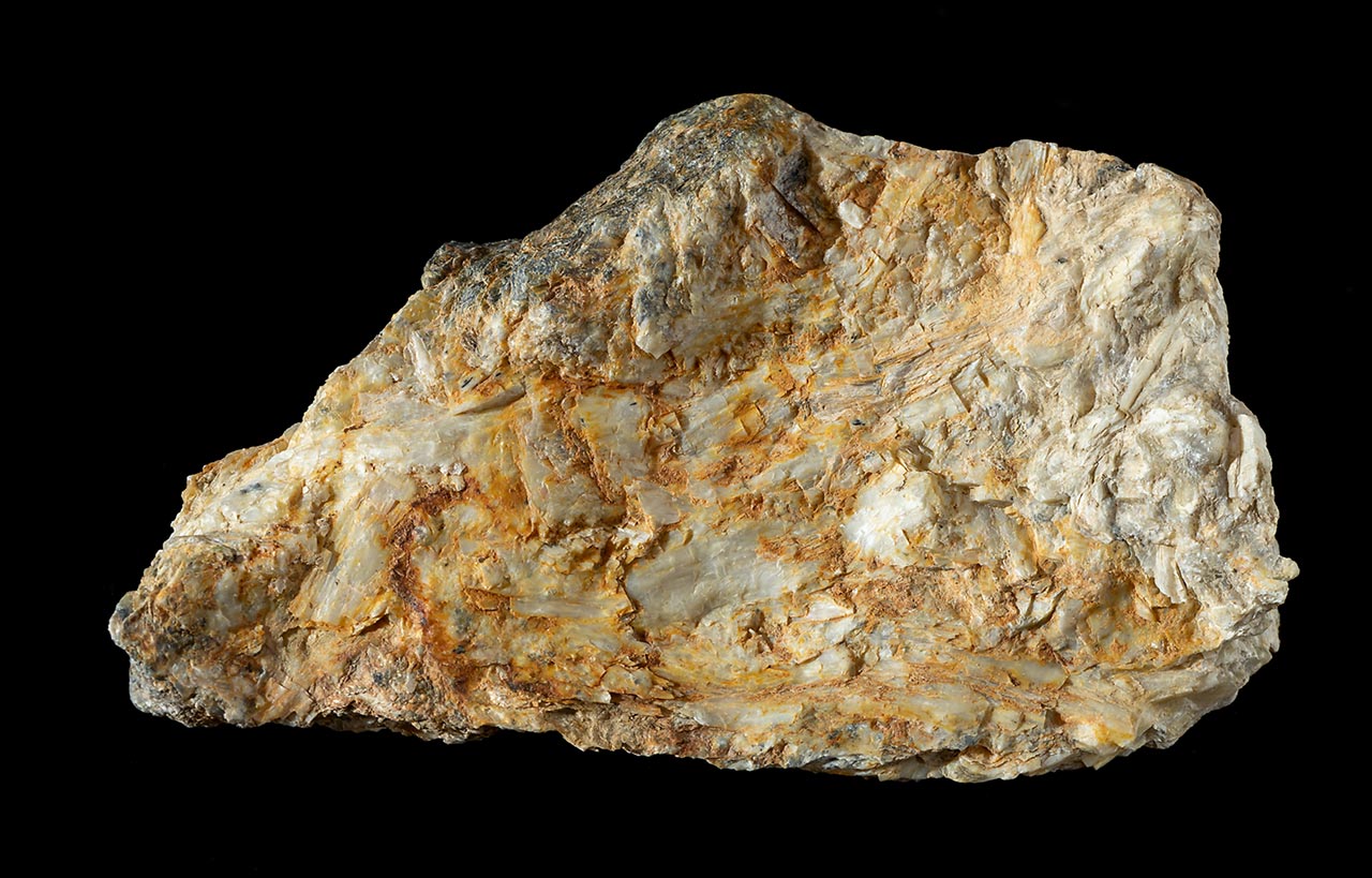
15. The Quartzite reserve in Assam is found in which place?
A) Golaghat District
B) Morigaon District
C) Nagaon District
D) Tamulpur District
View Answer
16. Assam shares its international boundary with how many countries?
A) One
B) Two
C) Three
D) Five
View Answer
17. How many Districts of Assam share the International boundary with Bangladesh and Bhutan?
A) Eight Districts
B) Six Districts
C) Seven Districts
D) Two Districts
View Answer
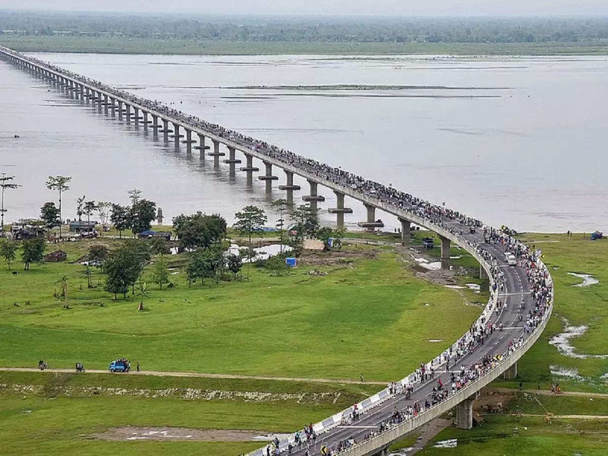
18. Which two places have been connected by the Bhupen Hazarika Bridge?
A) Dibrugarh-lakhimpur
B) Dhola-Sadiya
C) Sadiya-Bokakhat
D) Nagaon-Tezpur
View Answer
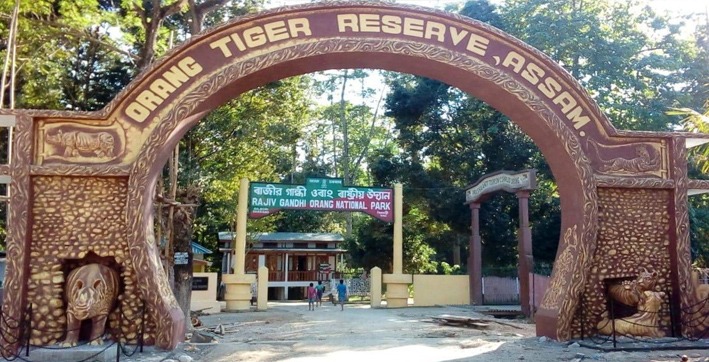
19. The smallest National Park of Assam is-
A) Nameri National Park
B) Orang National Park
C) Raimona National Park
D) Kaziranga National Park
View Answer
20. The Major reserve of limestone in Assam is in-
A) Dima Hasao and Cachar
B) Diphu and Hamren
C) Dima Hasao and Karbi Anglong
D) Margherita
View Answer
21. The Gibbon Wildlife Sanctuary is located at?
A) Golaghat
B) Sibsagar
C) Jorhat
D) Dibrugarh
View Answer
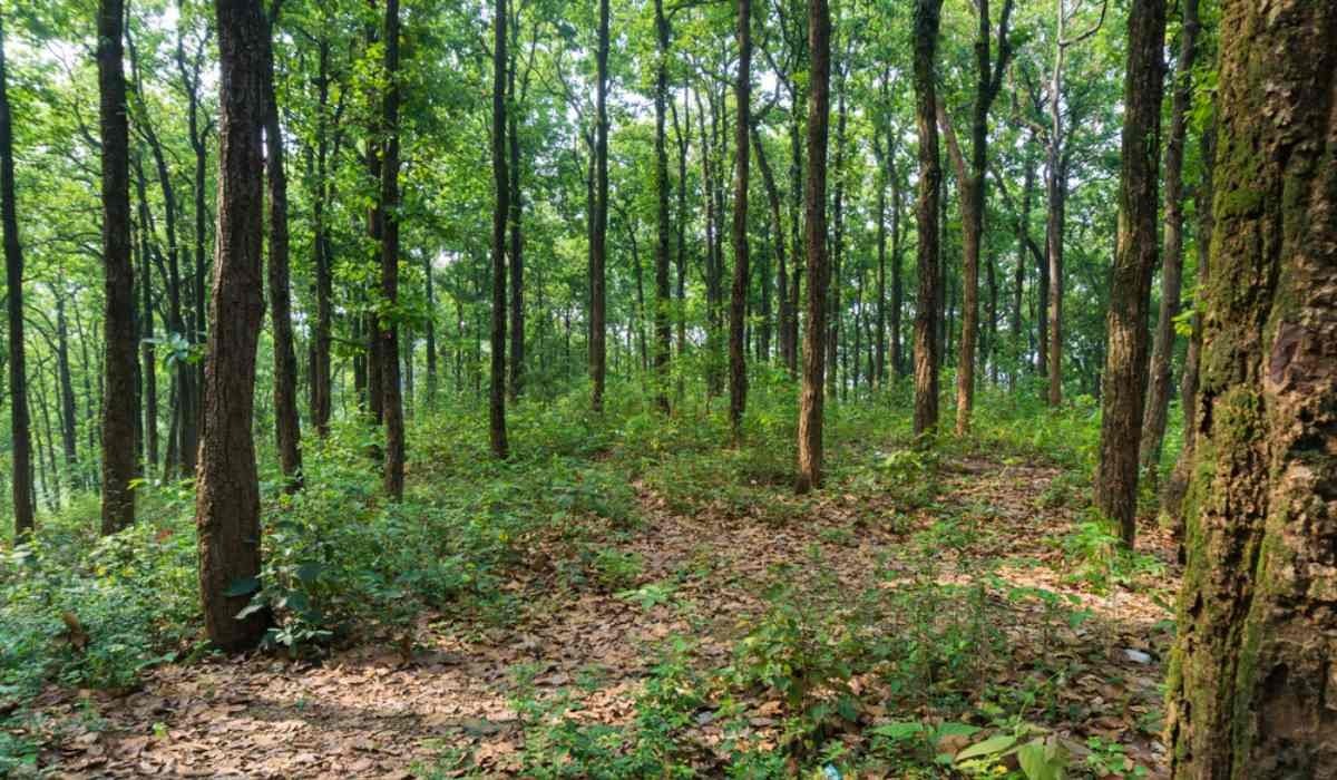
22. Which of the following trees is predominant in the forest of Assam?
A) Hollong Tree
B) Teak Tree
C) Sal Tree
D) Segun Tree
View Answer
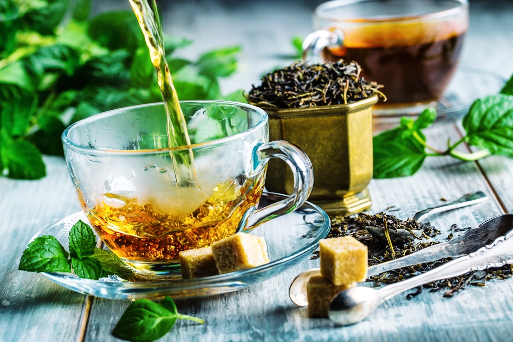
23. Tea is declared as the State drink of Assam on-
A) 1971
B) 2011
C) 2001
D) 2023
View Answer
24. Which of the following protected areas in Assam is known for Golden Langur?
A) Garampani Wildlife Sanctuary
B) Nameri Wildlife Sanctuary
C) Chakrasila Wildlife Sanctuary
D) Pobitora Wildlife Sanctuary
View Answer
25. Area wise Assam stands in which number among the Northeastern States?
A) First
B) Second
C) Third
D) Fourth
View Answer